
DEVELOPMENT PLANS
A PLACE WITH PURPOSE
-

INTEGRATION
Meets the character of surrounding area and avoids urban sprawl
-

SUSTAINABILITY
Supports sustainable lifestyles
-

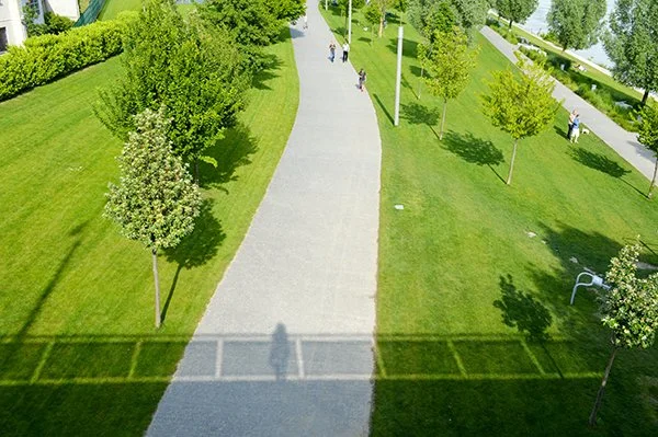
COMMUNITY
Welcoming streets for homes and businesses
-

ACCESSIBILITY
Promotes walking, cycling, and public transport over car use

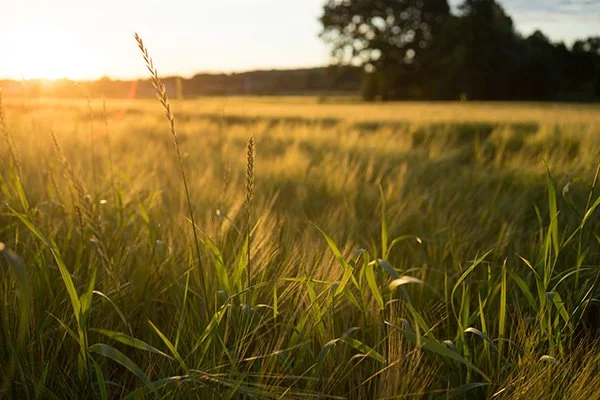


LIVING LANDSCAPES
-

OPEN SPACE
Expansive parklands and play spaces
-

HABITAT
Restored lagoon area supporting biodiversity and inviting exploration
-

GREEN LINK
New green corridor linking Sankey Valley Park and Spike Island
-

PLACEMAKING
Thoughtfully designed spaces, bringing people together in the great outdoors

CONNECTED FOR THE FUTURE
-

INFRASTRUCTURE
New public transport and active travel links from Widnes Road
-

TRAFFIC FLOW
Safely separating residential and business traffic
-

ENHANCED ROUTES
Walking and cycling routes including link to the Trans Pennine trail
-

AMENITIES
A local centre with a school, shops, and community spaces

RESTORING THE LAGOONS
-

LEGACY
Phased lagoon restoration delivering long-term environmental gain
-

ECOLOGY
Improve biodiversity and provide new habitats
-

IMPROVED ACCESS
Future public access via improved paths and crossings
-

GREEN CORRIDOR
Vital green link between nearby natural areas

THE MASTERPLAN
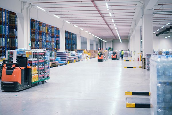
The current masterplan for the wider site has the capacity to deliver a minimum of 860 homes and c.101ha gross of employment land delivered over multiple phases. Offering the scale and flexibility to accommodate employers in advanced manufacturing and logistics.
This signals an exciting future for the site, securing future investment for Warrington’s economy and the wider region.
Over the coming years Peel NRE will work in partnership with Warrington Council on the regeneration of the 820 acre site through a 10-to-15-year mixed use masterplan. We want to work with the communities around Fiddler’s Ferry to shape a development that is considerate to the needs to both existing and new residents.
Our proposals identify the site as an opportunity to create jobs, boost skills, and address local housing shortages including through affordable homes whilst also creating new accessible parkland and wildlife areas. The Warrington Local Plan is now adopted and we will continue to work closely with the Council as we coordinate this regeneration of one of the largest brownfield sites in the country.
Contact us
Interested in working together? Fill out some info and we will be in touch shortly. We can’t wait to hear from you!